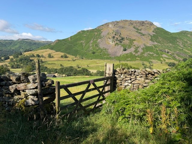
My first attempt at this challenge was walking the Tamara Way from the south coast of Devon to the beaches of northern Cornwall. My partner and I walked the first three days of this, but my interest waned once I knew we’d done the best part. I’m still to finish it!
My second attempt was rather more ambitious; walking the Coast to Coast (C2C) path from St Bees to Robin Hood’s Bay, a distance of around 190 miles.
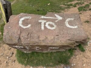
I only had a week spare to walk this year, so I completed the first half in July 2026 and plan to finish it in 2027. I walked alone, but met many others along the way and we often ended up staying in the same hostels and walking the route together.
Day 1: St Bees to Ennerdale YHA – 14 miles
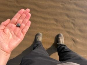
Keen to get started I near enough skipped out of St Bees. I’d arrived the day before so had already done the traditional boot wetting and pebble collection at the beach. I was ready to walk!
That said, my luggage left St Bees before I did. I’d decided to enjoy the walk without a huge pack, so I’d splashed out on a luggage transfer service, a godsend, and worth the £18 daily charge. For the first night, though, I had to carry my overnight essentials, as I was staying off the beaten track where luggage couldn’t be delivered.

Traditionally, the C2C trail heads north from St Bees along the coast before turning inland towards the Lake District. However, a landslip meant the coastal section was off limits, so the trail heads inland almost immediately instead.
The first part of the walk was pretty straightforward, although I did encounter my nemesis – cows – in the very first field. About an hour in came Dent Hill, the first climb of the trail. It was a fairly gentle ascent, and as I climbed, the hills of the Lake District ahead begin to open up, along with views towards Sellafield. I stopped at the summit for a break and enjoyed the sunshine. Amazingly, the forecast was showing sunshine and warmth all week, almost perfect walking weather.
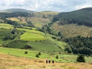
The descent off Dent Hill was extremely steep, in fact one of the steepest descents of the whole walk. The walk then flattened out before arriving in Ennerdale Bridge where I stopped for a late lunch at The Gather cafe. The final section took me past Ennerdale Water. It was very picturesque, but after a long day, the five-mile stretch felt like a bit of a trudge.
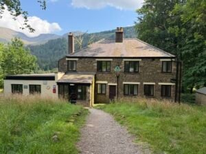
I checked into YHA Ennerdale and spent some time chatting with other walkers. After a dinner of chickpea curry, I retreated to my dorm. It was my first night in a hostel dormitory for many years!
Day 2: Ennerdale YHA to Rosthwaite – 10 miles
We were woken by an unexpected fire alarm at 12:30am in the hostel. Everyone looked a bit shell shocked as we evacuated but after a while we realised there was no fire. And no hostel staff either. Someone managed to turn the alarm off and we all tried to get back to sleep.
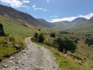
Fortunately the night passed without any further interruptions. After breakfast I set off along the forestry path to Black Sail hostel with another lady who was also walking the C2C. We had a break at Black Sail – I have fond memories of an impromptu game of cricket whilst staying there with the family many years ago. On this particular day it was overrun with several Duke of Edinburgh groups who were finishing their gold expeditions.
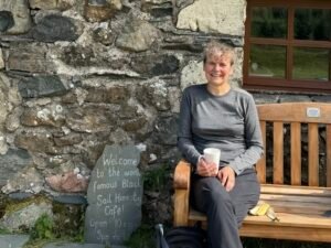
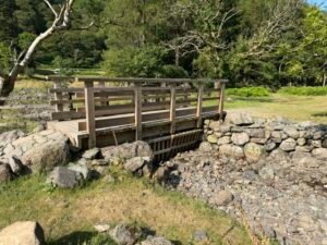
After a cup of coffee we set off again, onwards and upwards towards Loft Beck. Prior to the walk I’d been worried the stream would be in spate, but there was barely any water – and a newly installed bridge meant my anxieties were entirely in vain.
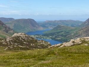
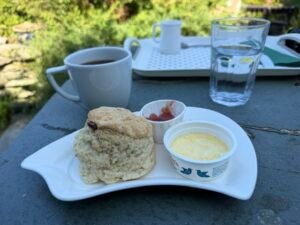
Day 3: Borrowdale YHA to Grasmere YHA – 11 miles
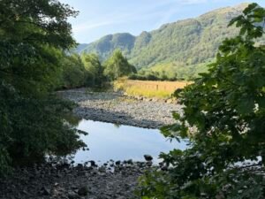
This was a tough day, partly due to the heat and partly because of my route choice. It started easily enough walking beside Stonethwaite Beck. It was interesting to see how dry the streams were and see, from the size of the stream beds, how much water there would normally be. And although the weather wasn’t as extreme as southern England it was already shaping up to be a hot day.
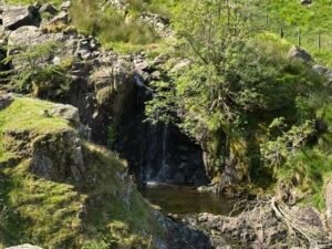
There were quite a few other walkers completing the C2C and I enjoyed talking with several of them. Despite the lack of rain there were still a lot of waterfalls and pools on the way up, which some of the walkers decided to bathe in. The path got quite tricky going up Lining Crag and Greenup Edge Pass. That said, route finding was easy as there were flagstones to follow across the boggy top.
I then made a mistake choosing the alternative high route over Calf Crag, Gibson Knott and Helm Crag. I should have kept to the main route. The alternative was supposed to take around 90 minutes extra but for some reason took me three hours. Added to which I barely had any water left. The views were fantastic, though, and I ticked off several Wainwrights—only to realise partway round that I’d actually done these hills before!
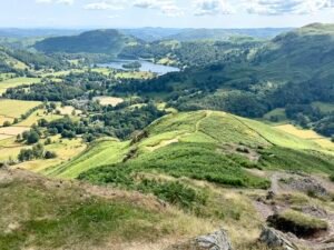
The descent was slow and tricky over loose rocks, making my already sore toes even worse. Eventually, I reached the bottom and had another mile into Grasmere, where the first café provided a very welcome drink before I headed to Grasmere YHA.
Day 4: Grasmere to Patterdale – 9 miles
Only 9 miles today, but they were up and down mountain miles. I left the YHA early, heading towards Grisedale Tarn. It was a lovely walk up with views back over where I’d come from yesterday. However, it was another hot one and I’d sweated off most of my suncream by 10am.
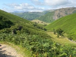
As it was a short day I had plenty of stops to admire the scenery and take photos. As on previous days there were several walkers walking at around the same pace. I walked and talked for a while with some of them, including 3 Czech ladies and a couple about my age, who were camping and carrying all of their own gear.
After Grisedale Tarn there was a gentle descent to Patterdale although I was slightly unnerved by a large rockfall set off by a walker coming down an unusual route. The day had got much hotter and I was relieved to find a cafe open at Side Farm, where I enjoyed a slab of fruit cake and coffee.
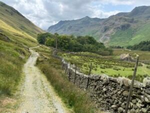
I had a shock when I tried to check into my accommodation at Noran Bank Farm bunkhouse as the lady advised she’d double booked me. Fortunately she upgraded me to a room in her B&B instead – it was a luxury not to be sharing a room for once! I was still able to use the bunkhouse kitchen for cooking, where I passed an enjoyable evening chatting with the Czech ladies.
Day 5: Patterdale to Shap – 16 miles
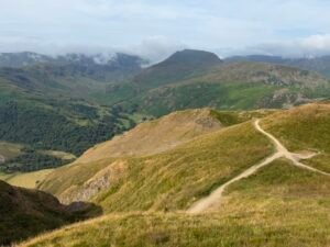
I wasn’t looking forward to this day, as I knew it was going to be a long and tough one, but it turned out to be the best walk of the week.
I started the ascent towards Angle Tarn at 8am, and was happy to meet up with my camping friends. We ended up walking the whole way together, which made a huge difference to my motivation.
Angle Tarn is also known as goose s**t tarn; this becomes apparent as soon as you arrive. However it’s also incredibly picturesque and who can blame the geese for wanting to live there.
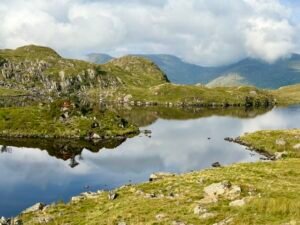
From Angle Tarn we headed up to Kidsty Pike, with amazing views in every direction. I had a break up top with several other walkers before heading down an alternative route to the guidebook. This went via High Raise, the highest point of my walk, and then Low Raise. It was lovely to have grass underfoot again rather than endless stone.
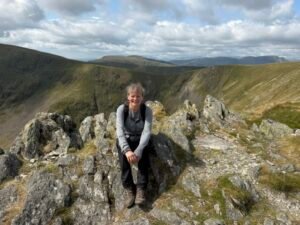
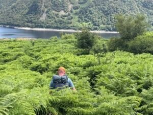
We met up with a Dutch walker along the way and continued down together. The final part of the descent was through shoulder-high bracken, which was not pleasant, as I’m paranoid about picking up ticks. We then walked along Haweswater Reservoir and by the time we reached Burnbanks, I was more than ready for my lunch stop.
After lunch we passed through a wood well known for red squirrels. I made a donation to the conservation project, in the hope that the squirrel gods might finally reward me with a sighting. Sadly, they did not. Instead, I think I have probably contributed to the death of grey squirrels…
The last five miles left the big hills of the Lake District behind. A sad realisation, but what a day! We passed Shap Abbey before finally reaching Shap itself.
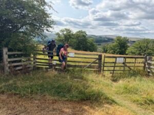
My B&B, the Hermitage, was lovely, and I treated myself to dinner at the Crown Pub. It was a satisfying end to a long but brilliant day.
Day 6: Shap to Sunbiggin Farm – 10 miles
Whilst most walkers walk Shap to Kirkby Stephen in one day I split this section into two.
Breakfast was a simple but delicious affair: porridge with stewed rhubarb, followed by a lovely chat with the landlady of my B&B. It was a good start to the day.
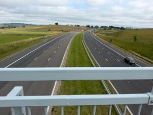
Shortly after leaving Shap I crossed a bridge over the M6 and then a diversion through a field full of cows and calves. Beyond that came a long stretch of moorland, with limestone pavements underfoot and a landscape that felt completely different from the days before. There was lots of heather, although it wasn’t yet in flower. The ground was incredibly dry too – none of the streams marked on the map had any water in them.
I passed time with the Czech ladies and my camping friends for the last time, as they were all carrying on to Kirkby Stephen. It felt sad knowing our paths were finally diverging.
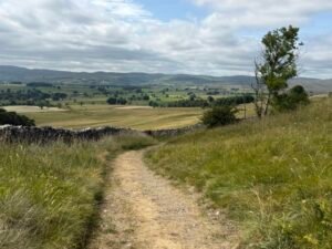
The walk down into Orton was particularly lovely, with butterflies everywhere, a buzzard overhead and plenty of wildflowers to enjoy. I stopped for lunch at the Orton Scar Cafe and, naturally, had another unsuccessful attempt at spotting red squirrels.
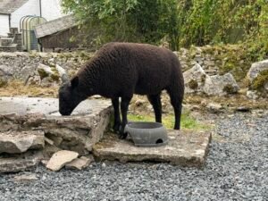
The afternoon was a slower, quieter affair as I made my way to the bunkhouse at Sunbiggin Farm. When I arrived there was no one around, but the daughter eventually appeared with several dogs — and a pet lamb, which was an unexpected bonus.
Later, whilst microwaving my evening meal, I managed to lock myself into the farmhouse bunk kitchen. After a frantic few minutes wiggling the lock, with no mobile signal and a locked fire exit, I managed to get out again. I thought I was going to have to climb out of a high level window!
Day 7: Sunbiggin Farm to Kirkby Stephen – 8 miles + cow detour!
The last day of this year’s adventure. This was my shortest day, originally planned as I thought I’d get the train home the same day. Instead I had a relaxed breakfast, said goodbye to the friendly lamb and set out on my last walk.
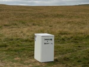
Most of the morning was spent walking across moorland. I was happy to spot the infamous honesty fridge in the middle of Ravenstonedale Moor. I didn’t actually need anything as it was such a short day but I love that there is a fridge in the middle of nowhere.
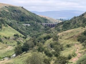
The moorland made for easy walking, although I was glad I hadn’t attempted to complete the section from Shap to Kirkby Stephen in one go. After a glorious walk along the moorland ridge I descended down to Smardale Bridge. I had a snack and rest before climbing up the other side, with lovely views towards Smardale Viaduct. The sun was shining, and it was a perfect day to be out walking.
Despite the short day, my walk was longer than it needed to be. As I approached Kirkby Stephen I spied a herd of cows blocking the path under the railway bridge. Did I walk through them? No of course not!
Instead, I turned around and took a long detour. At one point, this even meant walking along the edge of a fast A-road, all to avoid having to squeeze past a herd of cows. Sensible? Debatable. But I made it through the day without having to negotiate a bovine obstacle course, so I’m counting that as a win.
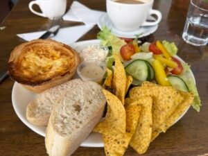
I finally arrived in Kirkby Stephen for a late lunch. I was very pleasantly surprised by the cafe prices – you could tell I had left the Lake District!
Later on in the day, I met up with my friend who I’d walked with on the second day. We were both staying at Kirkby Stephen hostel and it was great to exchange stories. I was sad to be finishing my walk for the year, but am looking forward to finishing it in 2027!
Challenge partly complete
Challenge partly completed. Pop over to read the full list of my 60 things to do before I’m 60.